
TOTAL STATION
The Complete Instrument for Modern Surveying
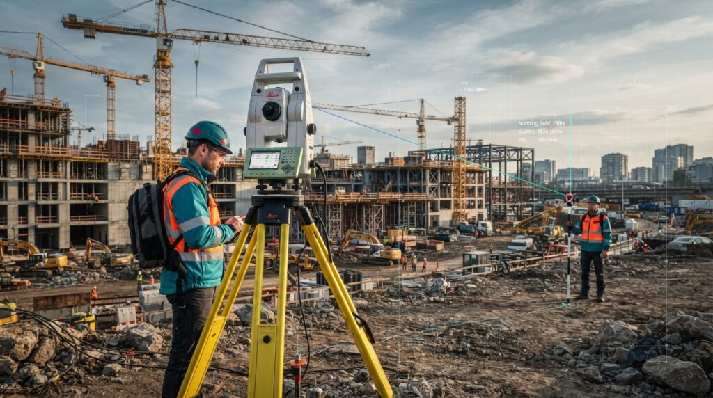
A Total Station is an advanced electronic surveying instrument that combines an electronic theodolite, an electronic distance meter (EDM), and a microprocessor-based data collection system into a single device. It measures horizontal angles, vertical angles, distances, and coordinates with high precision, making it one of the most widely used instruments in modern surveying and construction.
Total Stations are used in land surveying, construction layout, engineering projects, infrastructure development, GIS mapping, mining, and monitoring applications where accurate measurements are essential.
What is a Total Station?
A Total Station is a survey instrument that electronically measures angles and distances and automatically calculates coordinates, elevations, and positions. Unlike traditional theodolites, it stores measurements digitally and transfers data directly to surveying software for faster and more accurate workflows.
Modern Total Stations can perform reflectorless measurements, robotic tracking, and wireless data communication, making them indispensable for engineering and construction projects.
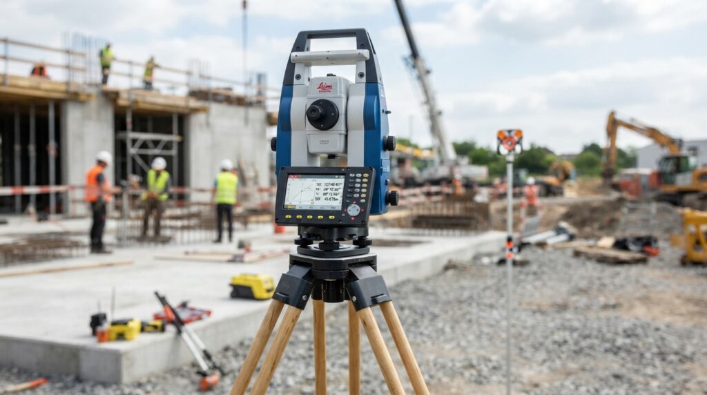
How Does a Total Station Work?
Angle Measurement – Measures horizontal and vertical angles using electronic encoders.
Distance Measurement (EDM) – Sends an infrared or laser signal to a prism or target and calculates the distance.
Coordinate Calculation – Combines angle and distance measurements to compute X, Y, and Z coordinates.
Data Storage – Saves survey points, codes, and observations in internal memory or a controller.
Data Transfer – Exports data to CAD, GIS, or surveying software via USB, Bluetooth, or wireless connection.
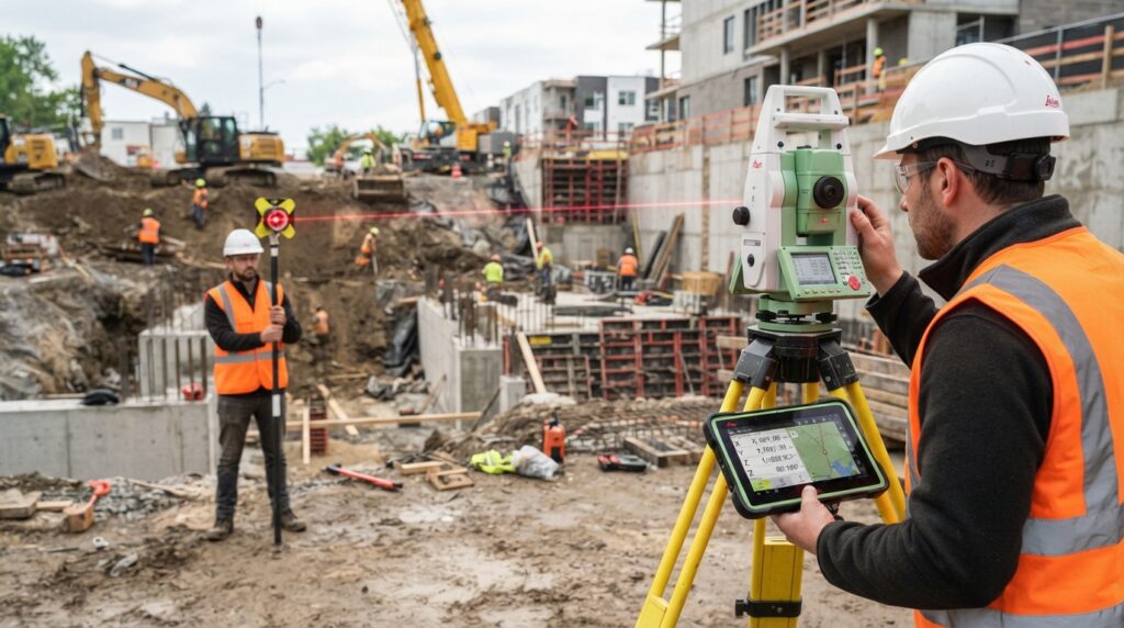
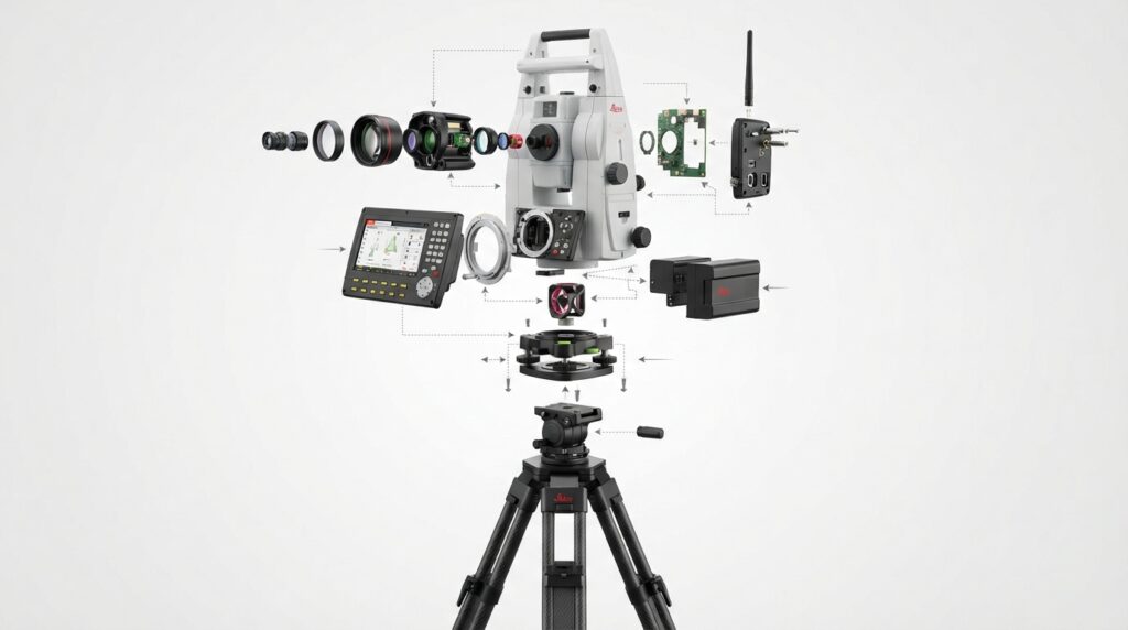
Main Components
Telescope
Electronic Distance Meter (EDM)
Horizontal & Vertical Encoders
Touchscreen / Keyboard
Battery & Power System
Tribrach & Optical Plummet
Communication Ports (USB, Bluetooth, Wi‑Fi)
Survey Tripod
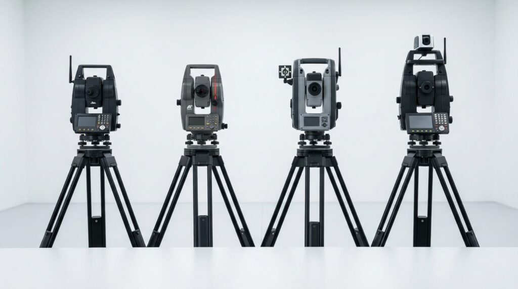
Types of Total Stations
1. Manual Total Station
Requires manual aiming and operation by the surveyor.
2. Reflectorless Total Station
Measures distances without a prism using a laser beam.
3. Robotic Total Station
Automatically tracks the prism and allows one-person surveying.
4. Imaging Total Station
Combines surveying with onboard camera and imaging technology.
Total Station vs GNSS RTK
Feature | Total Station |
|---|---|
Measures Angles & Distances | Yes |
Requires Satellites | No |
Works Indoors / Tunnels | Yes |
Line of Sight Required | Yes |
Typical Accuracy | 1–2 mm |
Frequently Asked Questions
What is a Total Station?
An electronic surveying instrument that measures angles, distances, and coordinates with high precision.
What is the accuracy of a Total Station?
Most survey-grade models provide 1–2 mm distance accuracy and 1″–5″ angle accuracy.
Can a Total Station work without GNSS?
Yes. It operates independently and is ideal where satellite signals are weak or unavailable.
What is reflectorless mode?
A feature that allows the instrument to measure distances without using a prism target.
Conclusion
The Total Station remains one of the most important instruments in modern surveying and engineering. By combining precise angle measurement, electronic distance measurement, and digital data processing, it enables surveyors to perform accurate, efficient, and reliable measurements for construction, infrastructure, mapping, and monitoring projects worldwide.
For MBH Geosphere, this page becomes a cornerstone educational resource connecting land survey, construction survey, GNSS, and engineering workflows into a complete surveying knowledge ecosystem.