
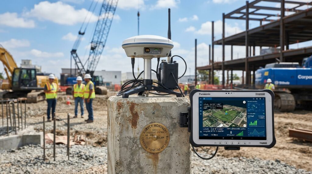


An RTK (Real-Time Kinematic) Base Station is a fixed GNSS reference receiver installed at a precisely known location. It continuously tracks satellite signals, calculates positioning errors, and transmits real-time correction data to RTK rover receivers, enabling centimeter-level positioning accuracy.
An RTK Base Station acts as a fixed reference point whose coordinates are already known. It continuously measures satellite positioning errors and broadcasts correction data that allows RTK rover receivers to achieve centimeter-level accuracy.
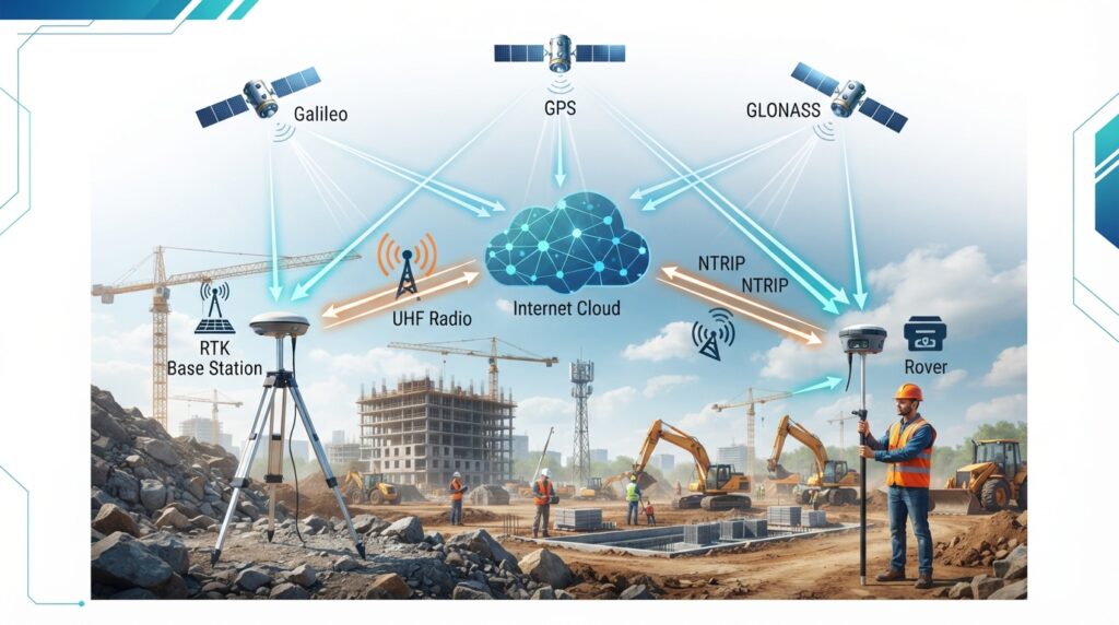
Receives satellite signals.
Calculates positioning errors.
Generates correction data.
Transmits corrections via Radio or NTRIP.
Rover receives corrections and calculates centimeter-level coordinates.
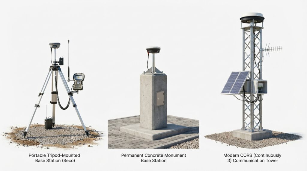
Portable Base Station
Permanent Base Station
CORS Station
An RTK Base Station is the foundation of modern high-precision surveying. By providing real-time correction data, it enables surveyors to achieve fast, reliable, and centimeter-level positioning for engineering, construction, hydrographic, mining, GIS, and infrastructure projects worldwide.
MBH Geosphere is an educational platform that shares simple, practical, and reliable knowledge about land surveying, hydrographic surveying, geophysical surveying, and dredging surveys. Our goal is to help students, engineers, and professionals learn through easy-to-understand technical content.
© 2026 MBH Geosphere. All Rights Reserved.Engineering Survey Knowledge Database