
Learn Survey Engineering

The Simple Way

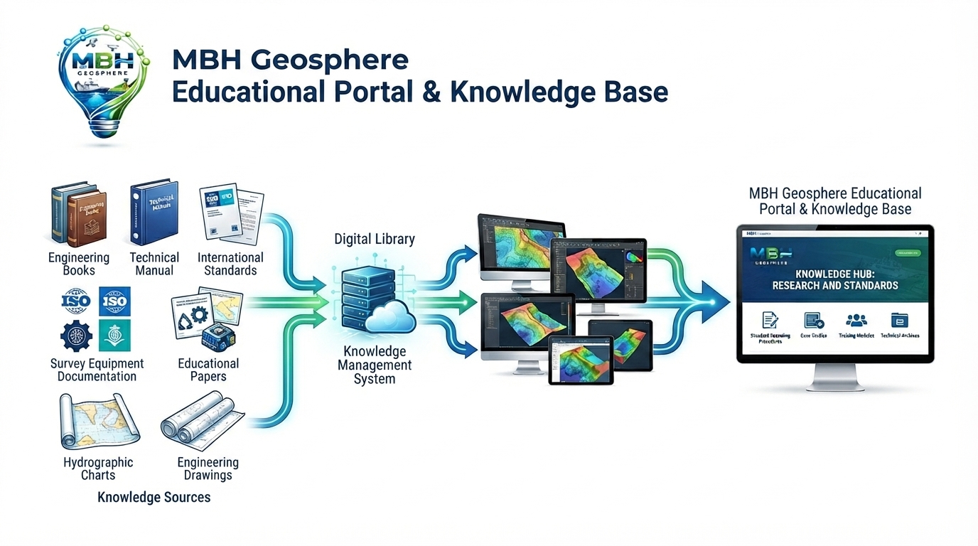
A single knowledge hub for land, hydrographic, geophysical, and dredging survey — built for

Engineers who work where measurement matters most.

Land Survey

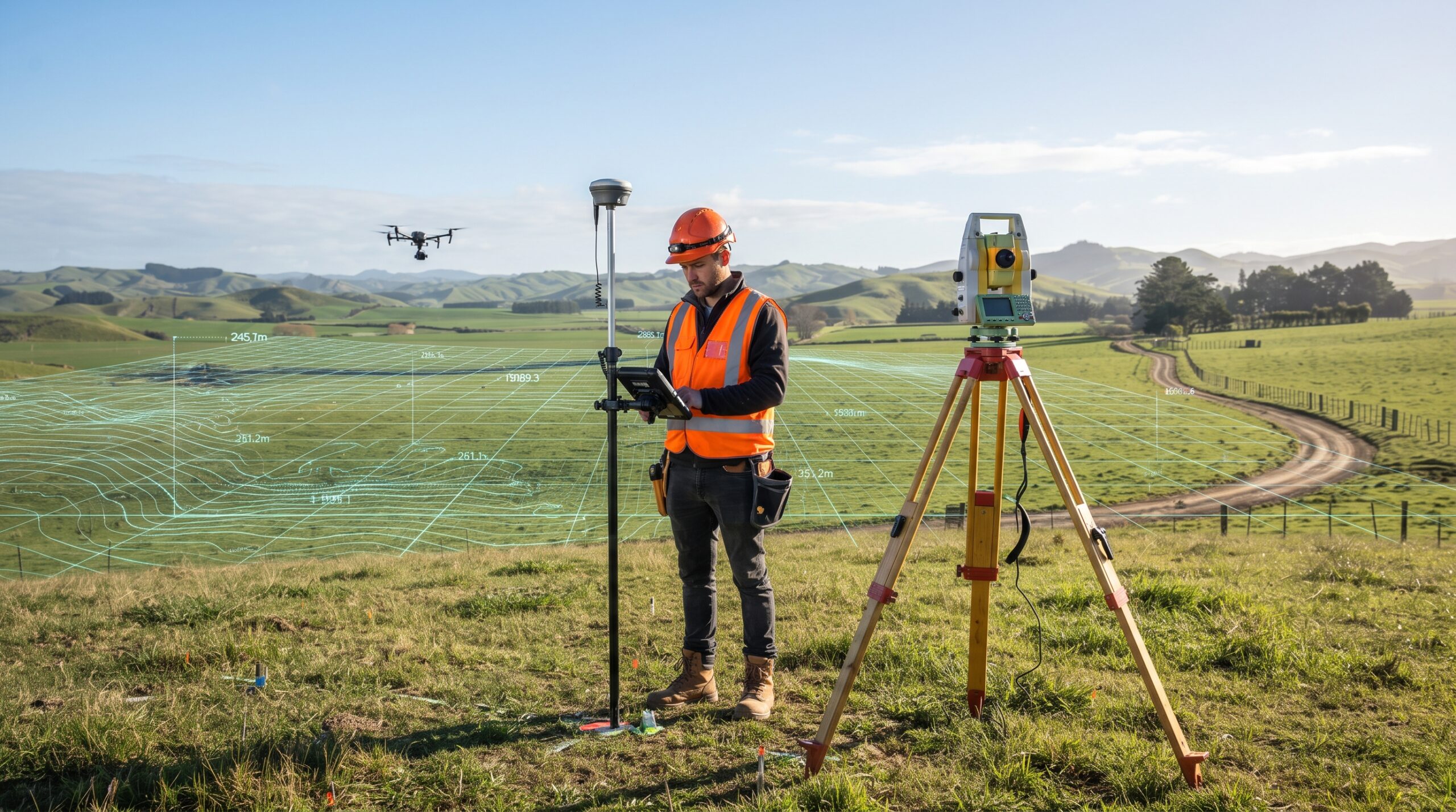
Land Survey is the process of measuring and mapping the Earth's surface to determine the exact location, size, shape, and elevation of land. It provides accurate information that engineers, architects, and construction teams use for planning, designing, and building projects. Land surveys are commonly used for roads, buildings, bridges, property boundaries, and infrastructure development.

Hydrographic Survey

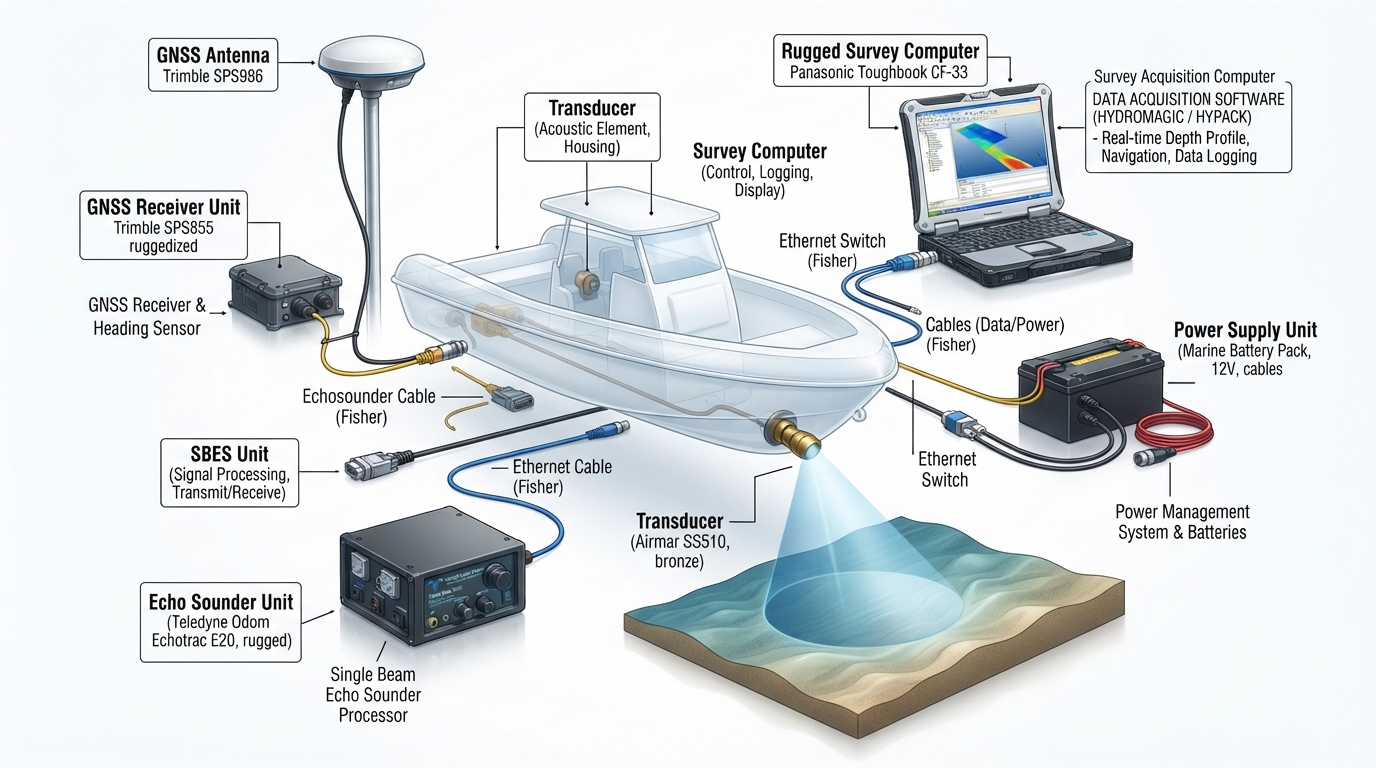
Hydrographic Survey is the process of measuring and mapping rivers, lakes, harbours, and the seabed. It collects information about water depth, underwater features, and seabed conditions to support safe navigation, marine construction, dredging, offshore projects, and environmental studies. These surveys help engineers make informed decisions for projects carried out in and around water.

Geophysical Survey

Geophysical Survey is a scientific method used to explore what is hidden below the ground or beneath the seabed without digging or excavation. It helps engineers, geologists, and researchers identify underground features, buried objects, rock layers, pipelines, cables, and other important structures. By using advanced survey equipment, geophysical surveys provide valuable information that supports safe planning, design, construction, and environmental studies.

Dredging Survey

Dredging Survey is used to measure the seabed before, during, and after dredging work. It helps engineers understand the existing seabed levels, monitor excavation progress, and confirm that the required design depth has been achieved. These surveys ensure that dredging is carried out safely, accurately, and according to the project requirements. Dredging surveys are commonly used in ports, harbours, rivers, navigation channels, and offshore construction projects.

Land Survey

We combine experienced professionals, advanced survey technology and internationally recognized standards to deliver accurate data information  survey solutions.

MBH Geosphere has become my go-to resource for my coastal engineering research. The detailed insights on hydrographic and dredging surveys are incredibly accurate and well-structured. It’s a goldmine of geospatial knowledge

Dr. Arsalan Khan
Marine Research Scholar
Finding a dedicated database that covers everything from land topography to complex geophysical studies under one roof is rare. MBH Geosphere is an outstanding platform for survey professionals looking to stay updated with industry standards
Engr. Fahad Sheikh
Senior Survey Consultant
Scroll to Top