
AUTO LEVEL
Precision Leveling for Accurate Elevation Measurements
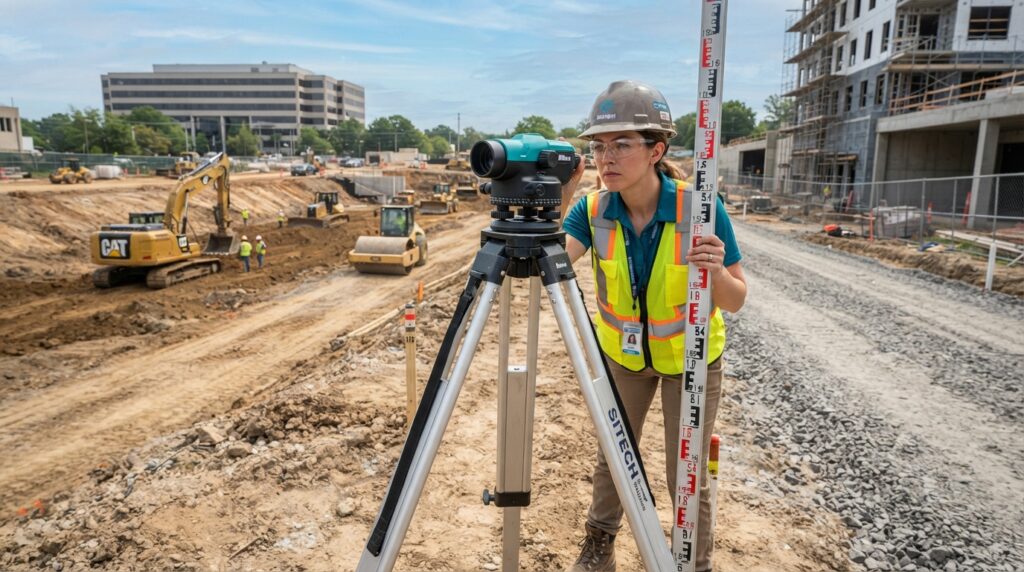
An Auto Level is an optical surveying instrument used to determine height differences and establish accurate horizontal reference lines. It features an automatic compensator that keeps the line of sight perfectly level, making it ideal for construction, road works, land surveying, drainage projects, and civil engineering applications.
Auto Levels are widely used because they provide reliable, accurate, and efficient elevation measurements even on uneven terrain.
What is an Auto Level?
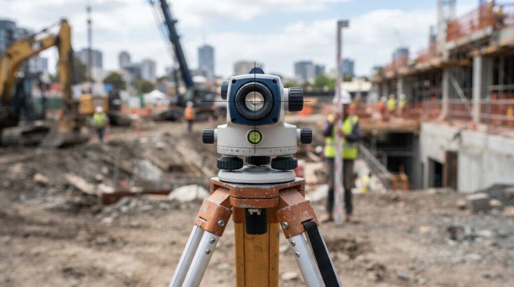
An Auto Level is a precision optical instrument that automatically maintains a horizontal line of sight using an internal compensator. It is primarily used to measure elevation differences between points and establish benchmarks for engineering and construction projects.
Compared to manual dumpy levels, an Auto Level is faster, more accurate, and easier to operate.
How Does an Auto Level Work?
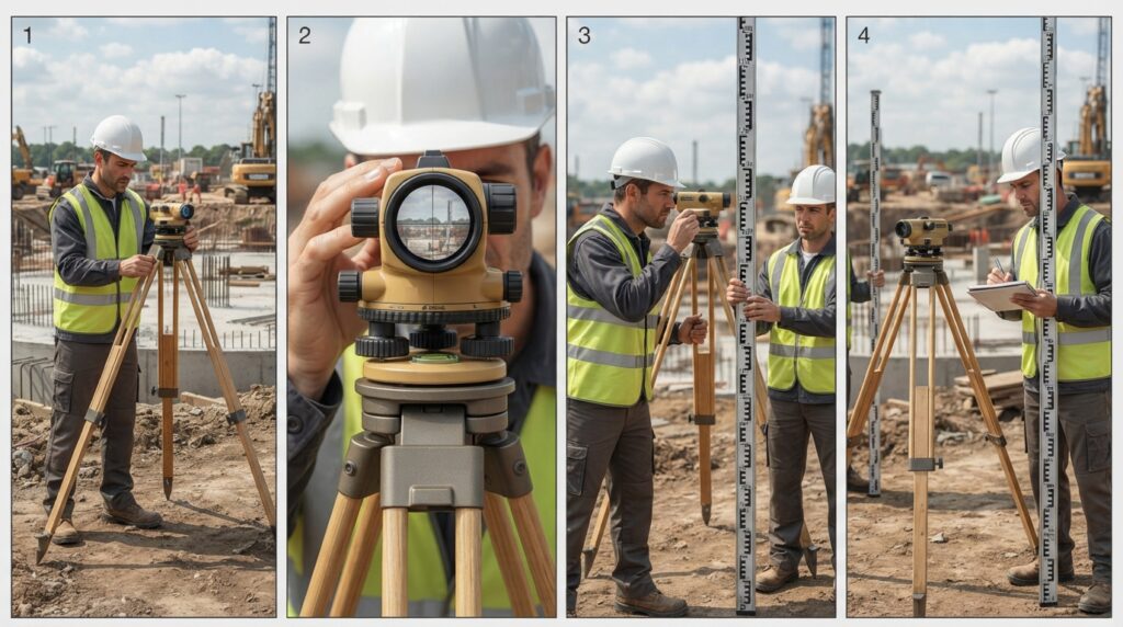
Step 1 – Instrument Setup
Mount the Auto Level securely on a tripod and level it using the foot screws.
Step 2 – Automatic Compensation
The internal compensator automatically creates a perfectly horizontal line of sight.
Step 3 – Sight the Leveling Staff
Aim the telescope at the leveling staff held on the survey point.
Step 4 – Take the Reading
Read the staff value through the telescope crosshair.
Step 5 – Calculate Elevation
Use backsight, foresight, and intermediate sight readings to determine height differences.
Main Components
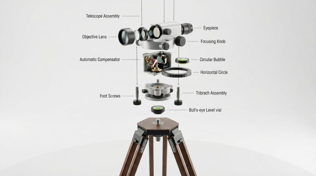
Main Components
Telescope
Magnifies the leveling staff for accurate readings.
Automatic Compensator
Maintains a perfectly horizontal line of sight.
Circular Bubble
Helps level the instrument during setup.
Foot Screws
Used for precise instrument leveling.
Horizontal Circle
Measures horizontal angles when required.
Tripod
Provides a stable platform for the instrument.
Types of Auto Levels
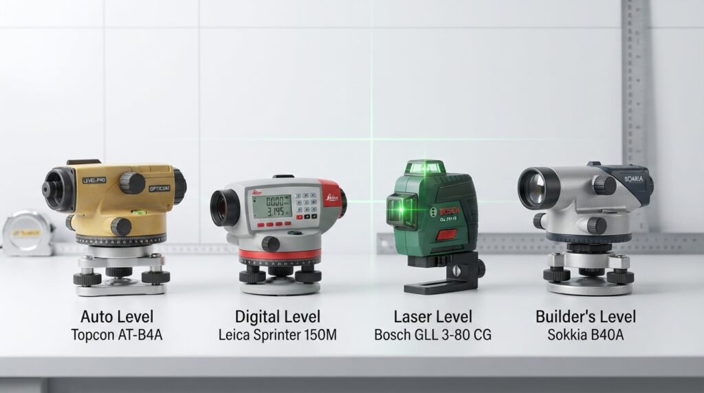
Automatic Optical Level
The most common leveling instrument for construction and surveying.
Digital Level
Reads barcode staffs electronically for higher accuracy.
Laser Level
Projects a visible laser beam for alignment and interior construction.
Builder’s Level
Used for general construction and site leveling tasks.
Auto Level vs Digital Level
| Feature | Auto Level | Digital Level |
|---|---|---|
| Reading Method | Manual staff reading | Electronic barcode reading |
| Accuracy | High | Very High |
| Ease of Use | Simple | Advanced |
| Cost | Lower | Higher |
| Best For | General surveying | Precision engineering |
Frequently Asked Questions
What is an Auto Level?
An Auto Level is an optical surveying instrument used to measure elevation differences with a self-leveling compensator.
What is the accuracy of an Auto Level?
Most survey-grade Auto Levels achieve approximately ±1.5 mm per kilometer (double run), depending on the model.
What is the difference between an Auto Level and a Dumpy Level?
An Auto Level uses an automatic compensator to maintain a horizontal line of sight, while a Dumpy Level requires manual leveling and adjustment.
Where is an Auto Level commonly used?
It is widely used in land surveying, road construction, building foundations, drainage, pipelines, canals, bridges, and infrastructure projects.
Conclusion
The Auto Level remains one of the most trusted instruments in surveying and civil engineering. Its combination of simplicity, precision, and reliability makes it an essential tool for measuring elevations, establishing benchmarks, and ensuring accurate levels in construction and infrastructure projects. As a result, it continues to play a vital role in modern surveying workflows worldwide.