
Robotic Total Station
Intelligent Surveying with Automated Precision
- Robotic Total station is used when we have a moving object like a frame, or a survey vessel and we want to measure continuous position at a continuous rate usually every second , so a prism is locked with the robotic total station, the automatic measurements are taken by Total station and transmitted to the acquisition CPU generally using a
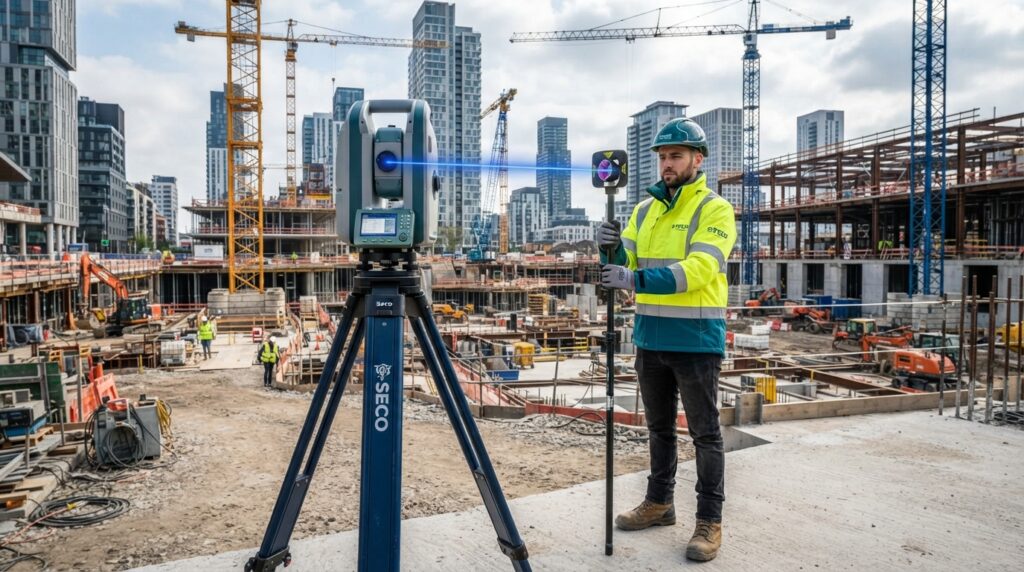
A Robotic Total Station (RTS) is an advanced surveying instrument that automatically tracks a prism and measures angles, distances, and coordinates without requiring a second operator. Equipped with motorized movement, automatic target recognition, and wireless communication, it enables one-person surveying with exceptional speed and accuracy.
Robotic Total Stations are widely used in construction layout, land surveying, deformation monitoring, tunnel projects, bridge construction, and large-scale infrastructure developments.
Key Features
- Automatic Prism Tracking (ATR)
- One-Person Survey Operation
- High-Precision Angle and Distance Measurement
- Motorized Instrument Rotation
- Wireless Communication
- Remote Control via Field Controller
- Reflectorless Measurement
- Integrated Data Storage
- Bluetooth & Wi-Fi Connectivity
- Rugged Weather-Resistant Design
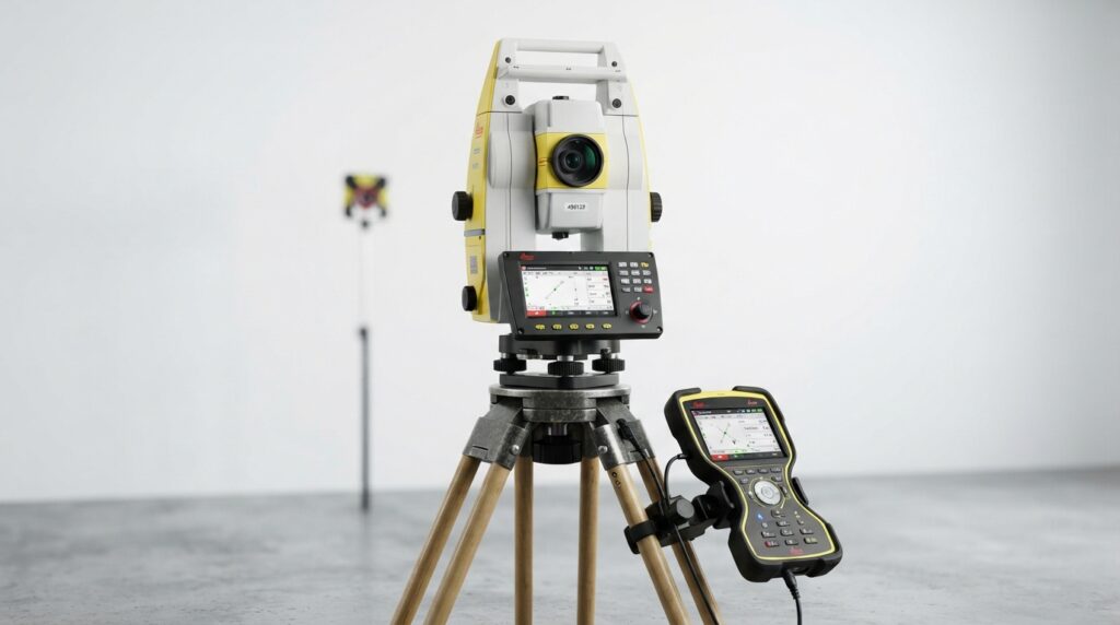
Advantages
- One-person operation reduces labor costs.
- Faster and more efficient field surveys.
- Automatic prism tracking minimizes human error.
- High accuracy for complex engineering projects.
- Seamless integration with CAD and survey software.
Conclusion
A Robotic Total Station combines automation, precision, and intelligent tracking to transform modern surveying workflows. Its ability to perform accurate one-person surveys makes it an essential instrument for construction, infrastructure, and engineering projects where productivity and precision are critical.