
Single Beam Echo Sounder (SBES)
Accurate Water Depth Measurement for Hydrographic Surveying
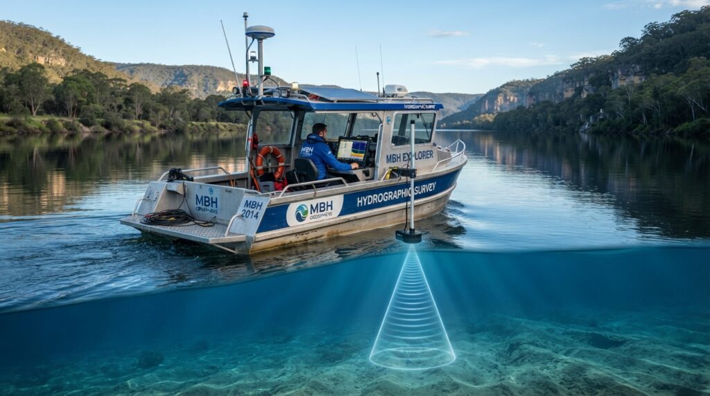
A Single Beam Echo Sounder (SBES) is one of the most widely used hydrographic survey instruments for measuring water depth. It works by transmitting a single acoustic pulse directly beneath a survey vessel and measuring the time it takes for the sound wave to travel to the seabed and return.
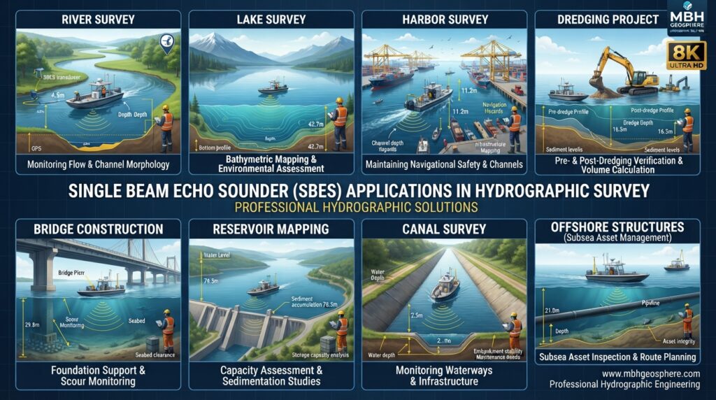
SBES provides accurate depth information along the vessel’s survey line, making it an ideal solution for rivers, lakes, reservoirs, harbors, canals, ports, and coastal surveys. It is widely used in engineering, dredging, navigation, and environmental projects due to its reliability, simplicity, and cost-effectiveness.
What is a Single Beam Echo Sounder?
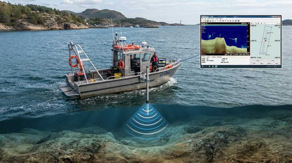
A Single Beam Echo Sounder is a sonar-based survey system designed to determine the depth of water beneath a vessel. Unlike multibeam systems that collect thousands of depth points simultaneously, SBES records a single depth measurement directly below the transducer.
The collected data is combined with GNSS positioning to produce accurate bathymetric profiles and underwater terrain information.
How Does SBES Work?
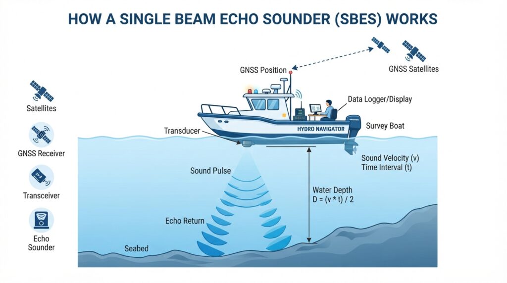
The system operates using acoustic sound waves.
Step 1
The transducer sends a sound pulse toward the seabed.
Step 2
The sound wave travels through the water column.
Step 3
The pulse reflects from the seabed.
Step 4
The echo returns to the transducer.
Step 5
The echo sounder calculates the travel time.
Step 6
The system converts travel time into water depth using the measured speed of sound in water.
Main Components
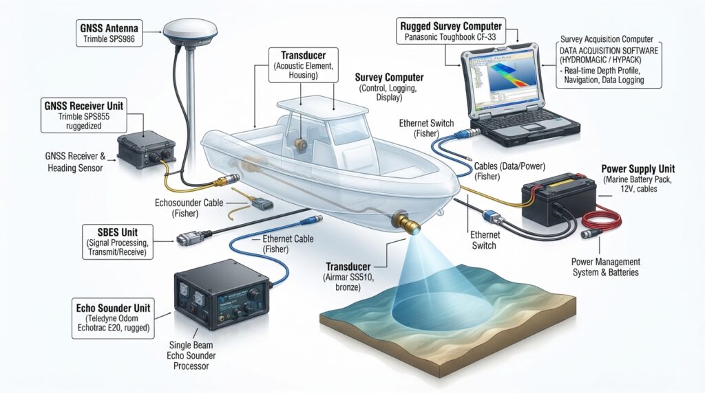
Echo Sounder Unit
Acoustic Transducer
GNSS Receiver
Motion Sensor (Optional)
Survey Computer
Data Acquisition Software
Power Supply
Applications
SBES is commonly used for:
River Surveys
Lake Surveys
Reservoir Mapping
Port Surveys
Harbor Surveys
Canal Surveys
Dredging Surveys
Navigation Channel Surveys
Bridge Construction
Dam Inspection
Environmental Monitoring
Advantages
Simple to operate
High depth accuracy
Cost-effective
Reliable performance
Suitable for shallow and
inland waters
Easy integration with GNSS
systems
Limitations
Measures only one depth point at a time
Slower coverage compared to MBES
Limited seabed coverage
Less suitable for detailed 3D mapping
Typical Technical Specifications
| Parameter | Typical Value |
|---|---|
| Operating Frequency | 30–200 kHz |
| Depth Range | Up to several hundred meters (model dependent) |
| Accuracy | High (depends on calibration and sound velocity) |
| Positioning | GNSS / RTK |
| Output | Bathymetric Profiles |
Frequently Asked Questions
What is SBES used for?
It is used to measure water depth for hydrographic and engineering surveys.
Can SBES create 3D maps?
SBES mainly produces depth profiles along survey lines. For detailed 3D seabed mapping, Multibeam Echo Sounders are generally preferred.
Is SBES suitable for rivers?
Yes. It is widely used for rivers, lakes, reservoirs, canals, and shallow-water surveys.
Related Equipment
Survey Vessel
GNSS Receiver
RTK Base Station
Motion Sensor
Tide Gauge
Sound Velocity Profiler